LONDON, 2016-Apr-13 — /Travel PR News/ — A new book by British Airways maps out the airline’s history and the vital part played by mapping for navigators and travellers alike, as aviation took off and came of age.
From the early days of flying, using charts and compasses to state-of-the-art aircraft using on-board moving maps, ‘Mapping the Airways’ from Amberley Books charts the importance of mapping over the last hundred years.
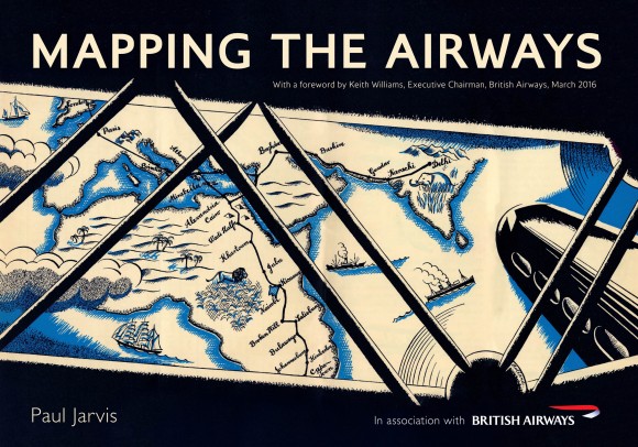
It draws upon the wealth of maps and images held by the archives in the British Airways Heritage Centre to show how they were used by early navigators and pioneering travellers right up to modern day jet-setters.
Paul Jarvis, author, and curator of British Airways’ Heritage Centre, said: “It’s clear that maps have long held a fascination for travellers and airlines have used maps in different artistic styles over the decades to entice the public to take to the skies.
“What’s fascinating is just how maps have developed over the years and how they have become an enduring power to spark our imagination and chart our voyages through the skies.”
A foreword by Keith Williams, British Airways’ former executive chairman, said: “Whoever we are, our history is always part of us. The history of British Airways is indeed rich, and there is no better demonstration of that than this fascinating book.”
Paul’s latest book draws on a wealth of fascinating and unique material from the British Airways archive and focuses on the beautiful images, functional maps and carefully crafted advertising artworks charting the growth of aviation around the world.
The story starts in the pioneering days with the dawn of the aviation age following World War One and Imperial Airways’ route network. This stretched from Africa, the Middle East, India, Hong Kong and Australia and mirrored the growth and prosperity of the British Empire.
Flights that now take hours in modern aircraft took days and sometimes several weeks, using maps lovingly illustrated in the book, including charts used by British Airways’ predecessor the British Overseas Airways Corporation’s (BOAC) famous flying boat service, based near Southampton.
It then charts the rise of modern aviation with the emergence of British European Airways, BOAC which started the world’s first scheduled jet service and their merger in the 1970s to form British Airways as we know it today.
The book also looks at the modern moving map featured on today’s aircraft, which remains one of the most popular of all in-flight entertainment programmes for travellers, fascinated by their journey around the globe.
‘Mapping the Airways’ is published by Amberley Publishing on April 15, and priced at £17.99 it will be available at all good book shops and via Kindle, Kobo and iBook formats.
ENDS
Notes to editors:
Paul Jarvis is the curator of British Airways’ Heritage Centre, based at the airline’s Waterside head office, near Heathrow’s Terminal 5. His previous books by Amberley include ‘British Airways: An Illustrated History’ (2014) and ‘Better by Design: Shaping the British Airways Brand’ (2015).
Contact Details:
For more information please contact press.office@ba.com
###
‘Mapping the Airways’ A New book by British Airways maps out the airline’s history